Introduction
In a digital-first real estate market, visuals can make or break a listing. That’s why aerial real estate photography has become an essential tool for agents and developers looking to stand out. From sweeping drone shots to cinematic angles, these visuals offer prospective buyers a captivating view of a property’s layout, surroundings, and scale. In the Seattle and Bellevue markets—where competition is fierce and scenery is spectacular—leveraging aerial imagery is more than a trend, it’s a strategy.
Sections
- Why Aerial Photography Matters
- Best Properties for Drone Coverage
- How We Capture Aerial Footage
- Aerial vs. Ground-Level Photos: What’s the Difference?
- Book a Shoot with Clarity Northwest
Why Aerial Photography Matters
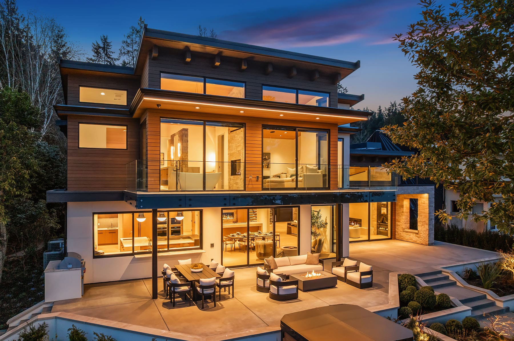
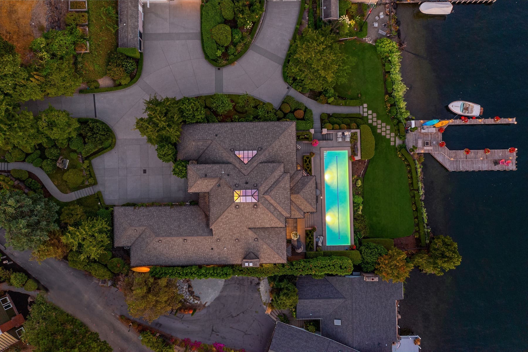
Aerial real estate photography captures the scale, setting, and surroundings of a property. In places like Bellevue, Kirkland, and Mercer Island, this includes views of Lake Washington, downtown skylines, or wooded acreage. Aerial shots are perfect for showcasing lot size, water access, or proximity to trails and schools. These images tell a broader story—giving buyers a sense of place that ground-level photos simply can’t convey. According to REALTOR® Magazine, homes with aerial imagery attract significantly more attention online, with these properties selling up to 68% faster.
Best Properties for Drone Coverage
- Luxury estates with large lots or multiple structures
- Homes with water views or access
- Modern builds with striking lines and unique exterior features
- Acreage properties, farms, and equestrian estates
- Homes near parks, trails, or desirable school districts
Aerial real estate photography isn’t just for luxury estates—it can benefit mid-range homes too. For example, listings on quiet cul-de-sacs, homes with detached garages or ADUs, and even well-landscaped suburban properties all gain visual impact from above. Drone images can help highlight neighborhood features like nearby parks, trail access, or generous backyard space, offering a more complete view that appeals to families and first-time buyers alike.
How We Do Aerial Real Estate Photography
At Clarity Northwest, our FAA-certified drone pilots and editors work together to craft aerial visuals that are both beautiful and strategic. We pre-plan routes, evaluate lighting conditions, and capture homes from multiple elevations and angles. Our post-production process ensures that every shot is sharp, color-balanced, and optimized for web and MLS platforms. Whether you need a few powerful stills or a cinematic aerial video, our aerial photography services deliver results that make listings stand out.
Aerial vs. Ground-Level Photos: What’s the Difference?
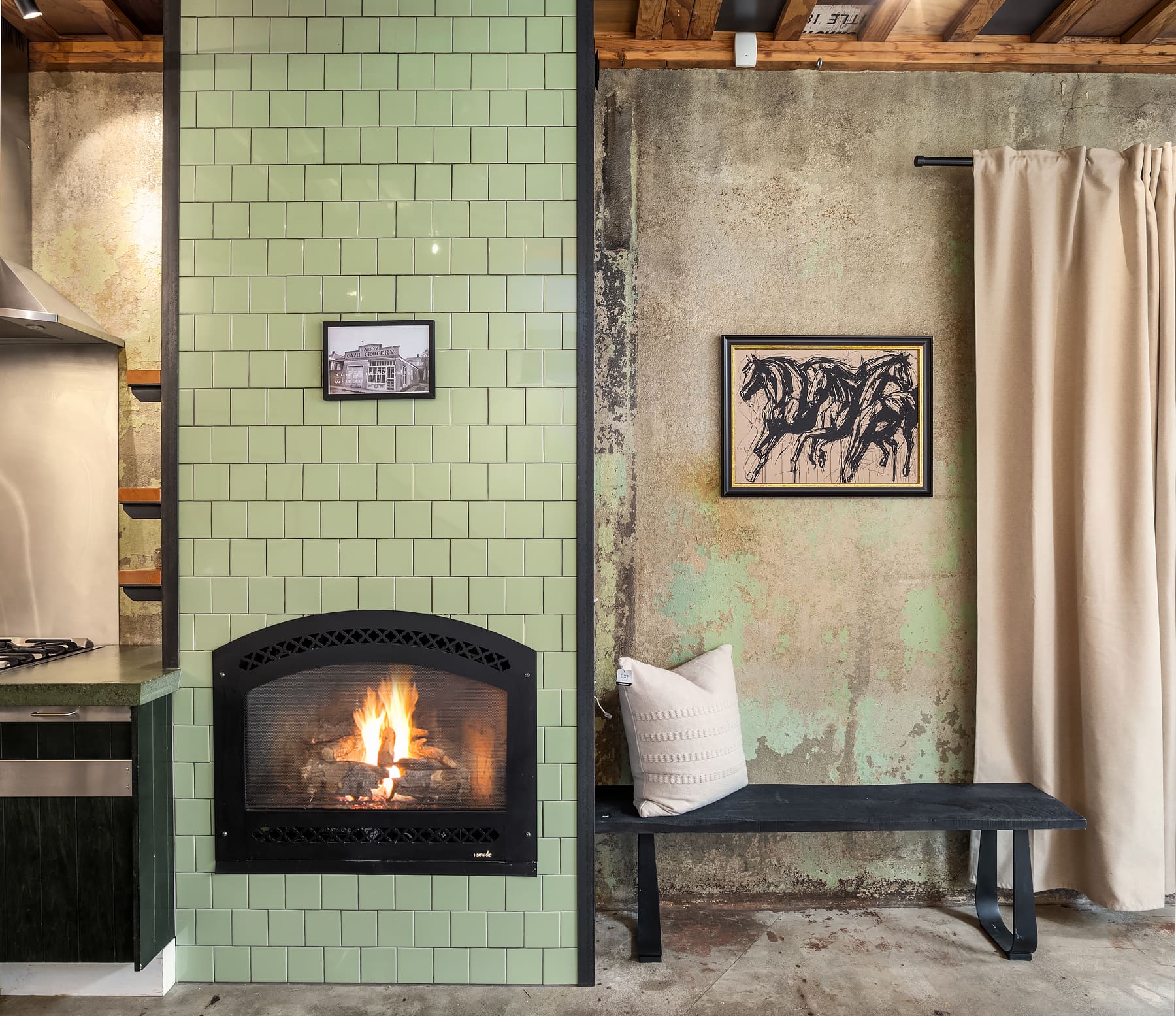
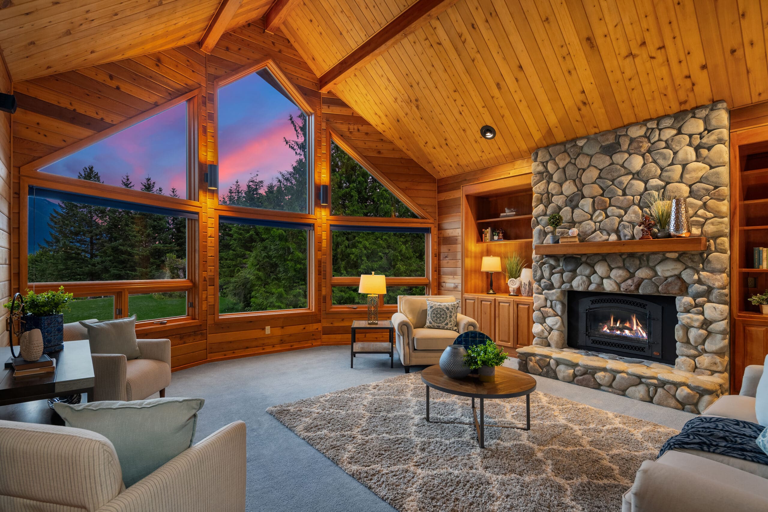
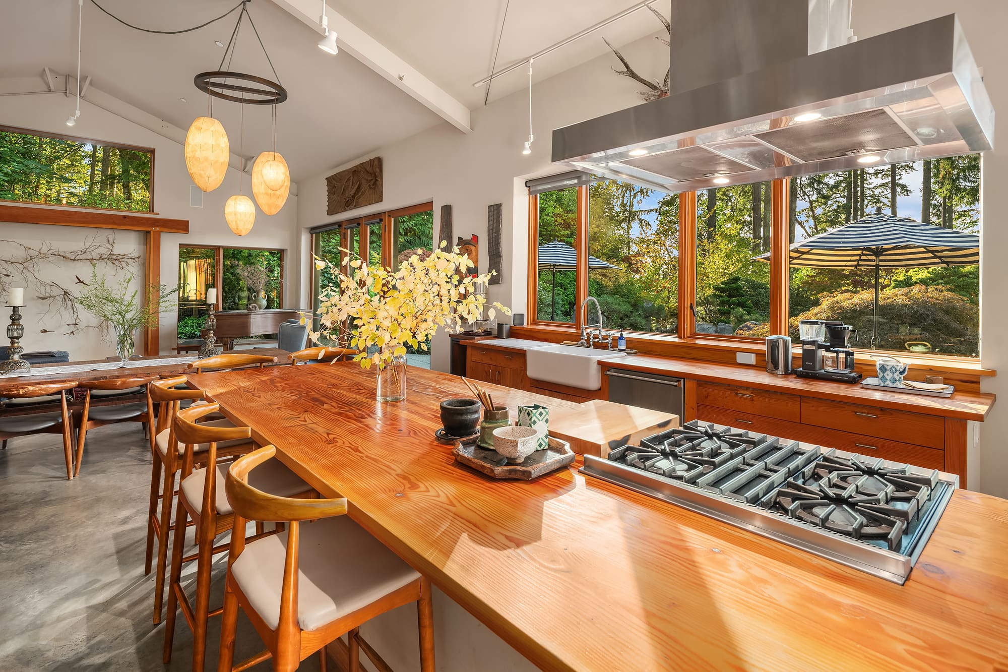
While ground-level photography focuses on interior layout, design, and finishes, aerial photography puts the property in geographic context. It reveals proximity to city centers, water, or natural features that buyers can’t always visualize from interior shots. Aerial images can also help agents show off exterior upgrades like new roofs, solar panels, landscaping, or outbuildings—all in a single frame. The combination of both styles ensures your listing tells a complete story.
Book a Shoot with Clarity Northwest
Whether you’re listing a custom build in Bellevue or a waterfront home in West Seattle, aerial real estate photographycan set your listing apart. Our team has captured everything from hilltop estates and modern Bellevue condos to waterfront retreats with private docks. We adapt our approach based on the property’s layout, design, and goals—ensuring each visual asset is strategic and impactful. With demand for innovative marketing tools growing, aerial photography isn’t just a bonus—it’s often the difference-maker that turns browsers into buyers.
We also understand that no two listings are alike, which is why our aerial packages can be customized for each client. Whether it’s a simple aerial overview for a compact urban lot or a full suite of drone video and high-resolution stills for a sprawling lakeside estate, we tailor the deliverables to match the marketing goals. Our experienced team not only knows how to capture the best angles but also how to create imagery that tells a cohesive, compelling story.
Book your shoot today or explore our full range of services to see how we elevate luxury real estate.